
Aerial photography of Hi-Tide Resort, Moonstone Beach, and the surrounding Moclips coastline. Click any photo to view full size.
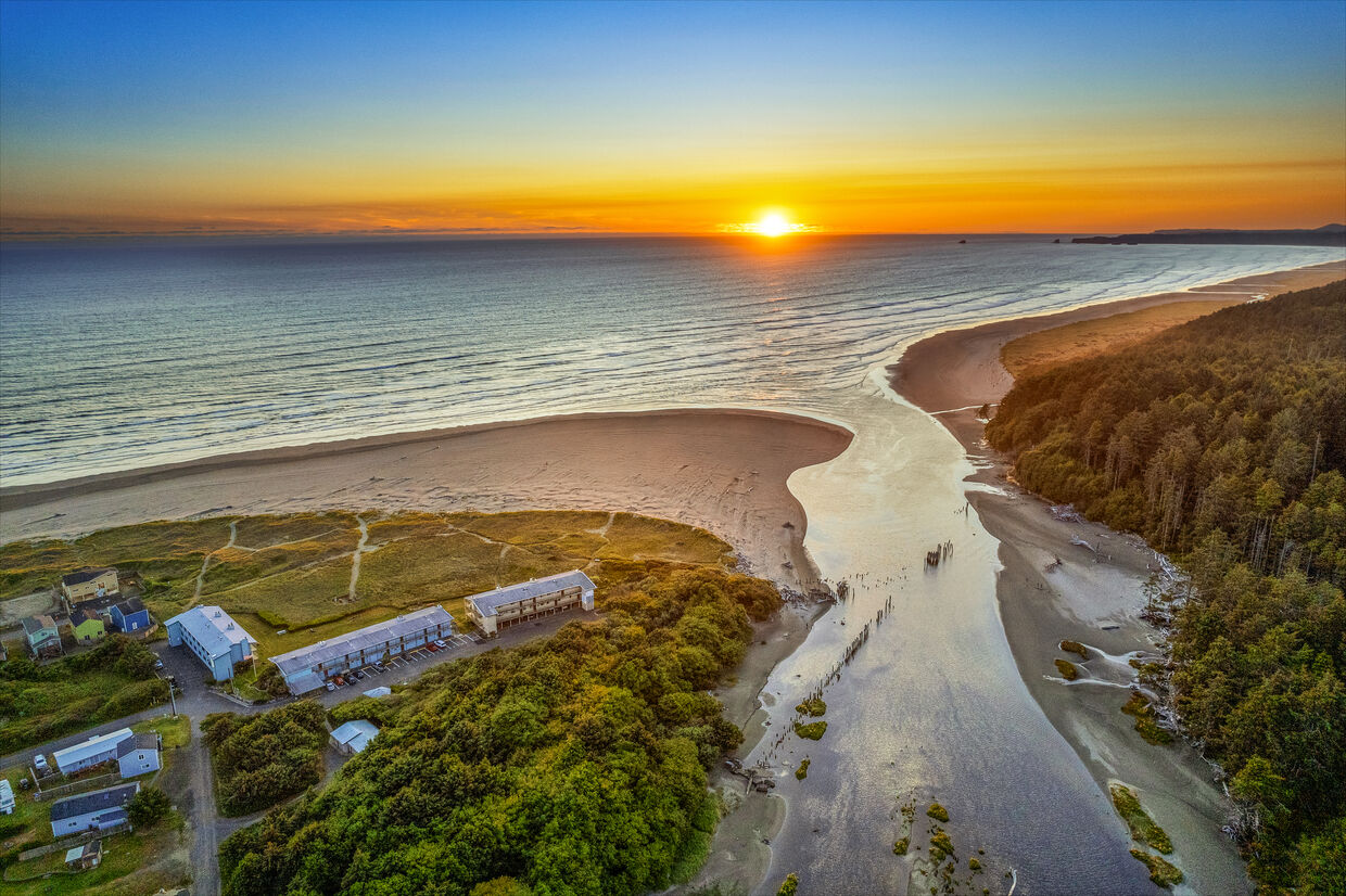
Hi-Tide Resort — Aerial Overview
↗
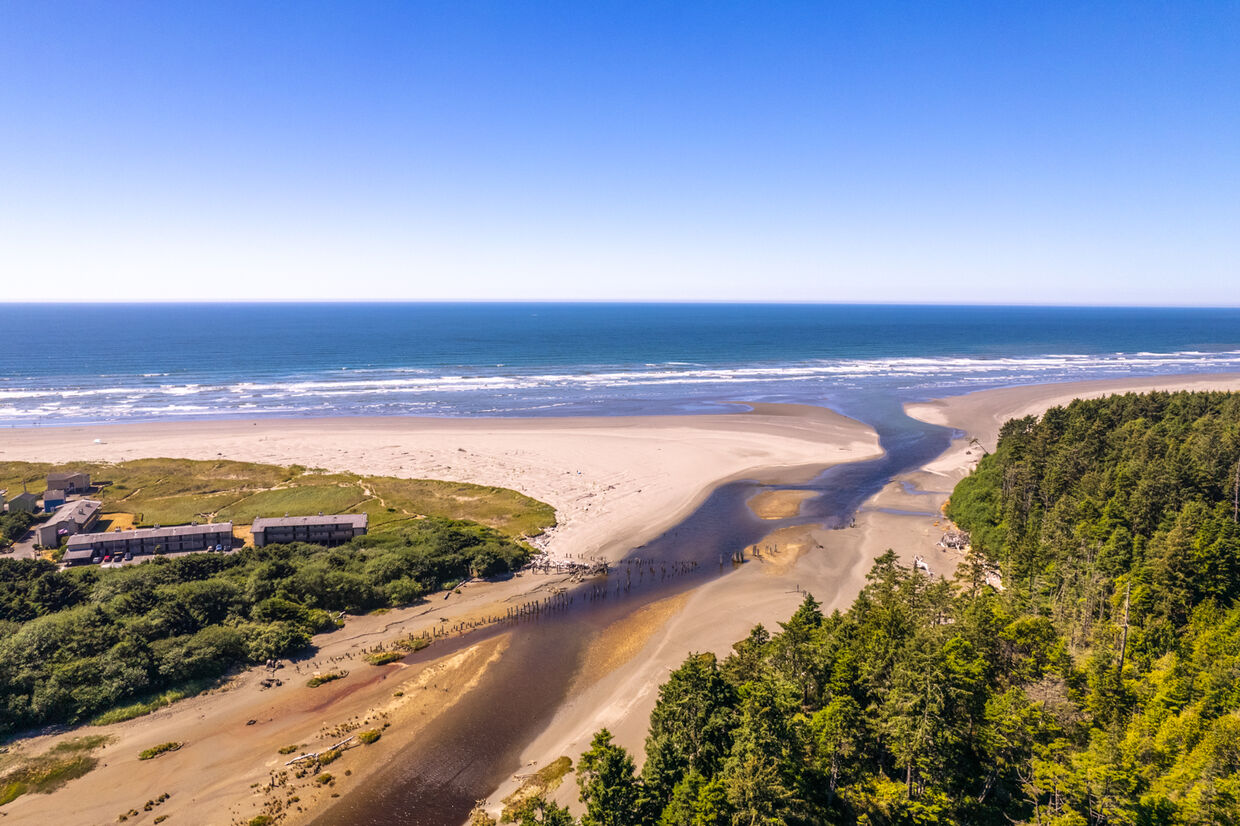
Moonstone Beach from Above
↗
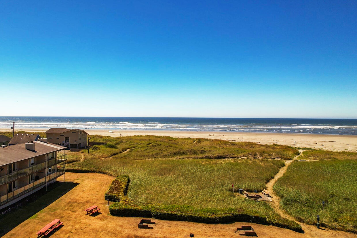
Resort Footprint — Ocean View
↗
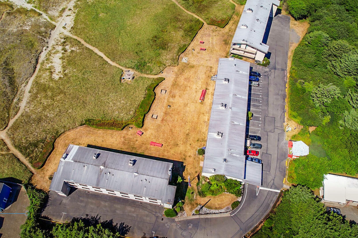
Drone View Looking South
↗
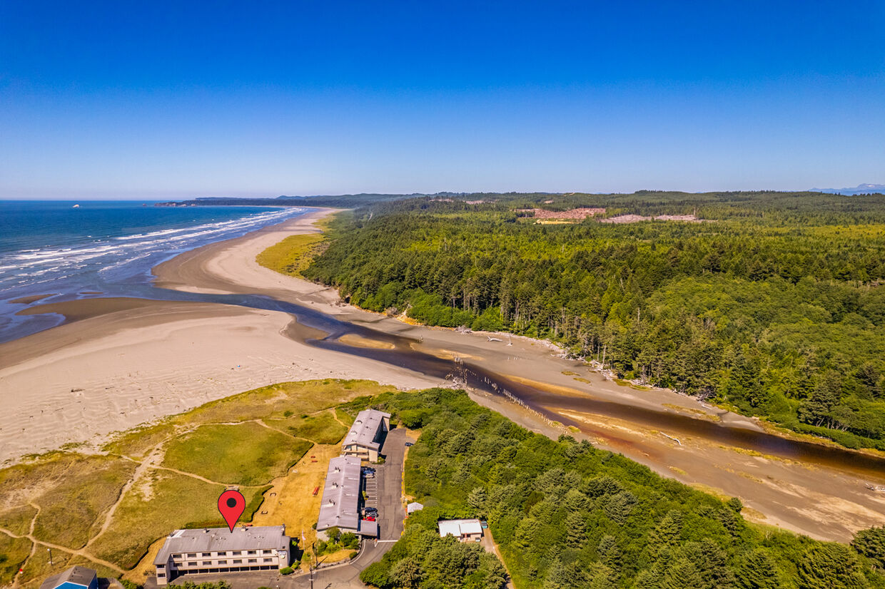
Coastline North of Moclips
↗
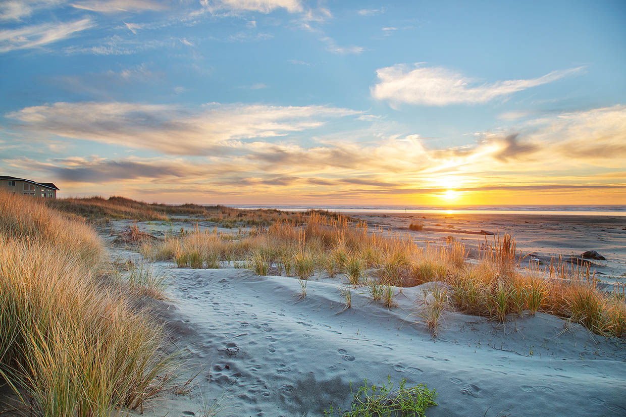
Pacific Ocean — Hi-Tide Frontage
↗
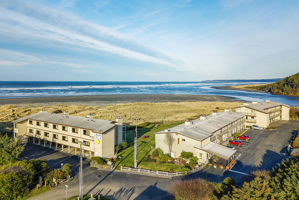
Resort Grounds from the Air
↗
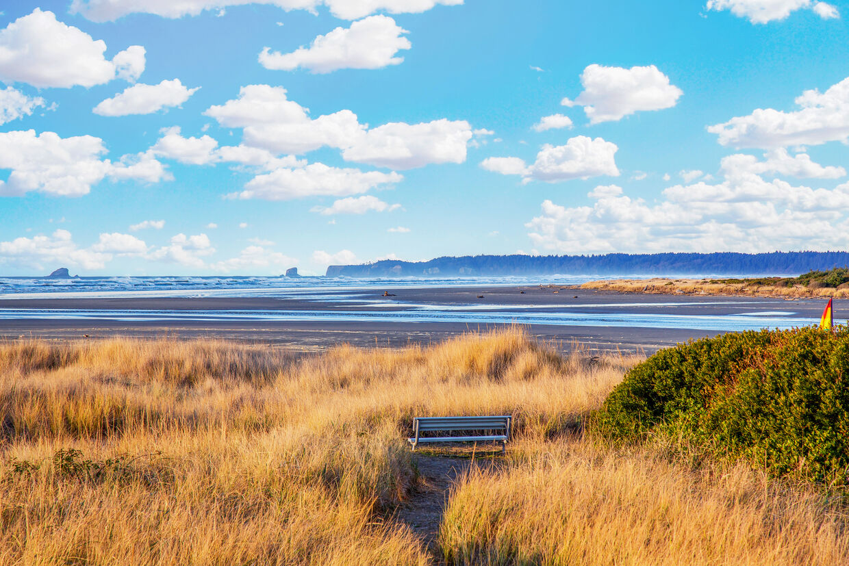
Aerial View Looking East
↗
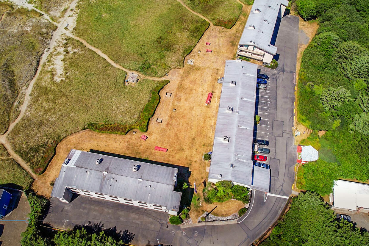
Moclips River from Above
↗
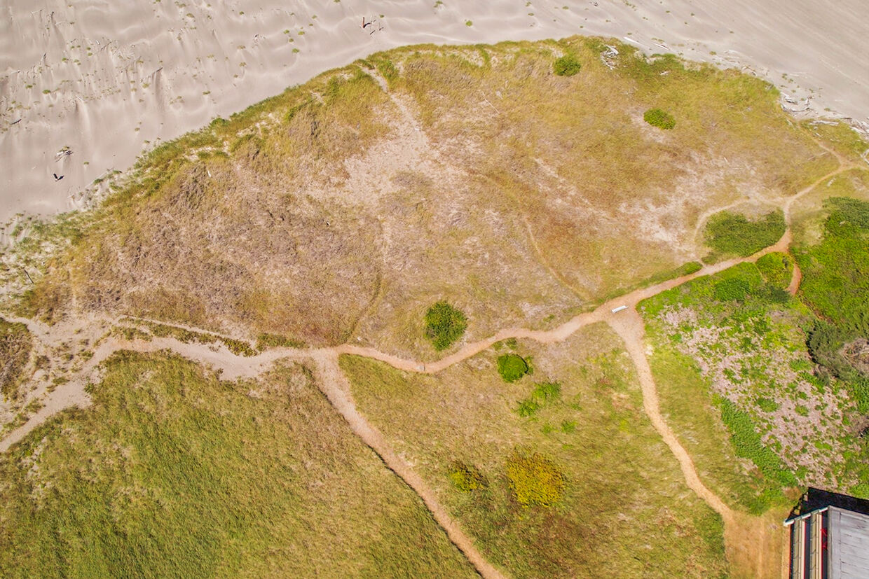
Coastline at Low Tide — Aerial
↗
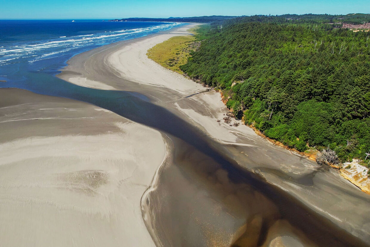
Drone View — Full Resort Property
↗
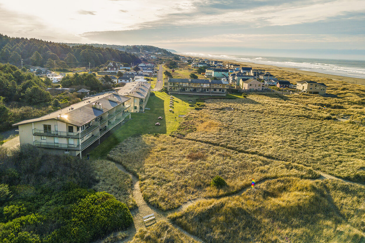
Pacific Shoreline Looking North
↗
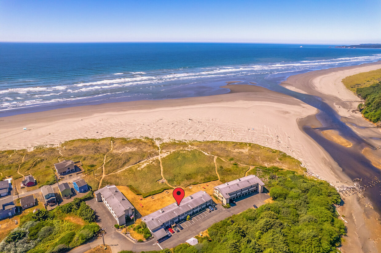
Aerial — Hi-Tide Beachfront
↗
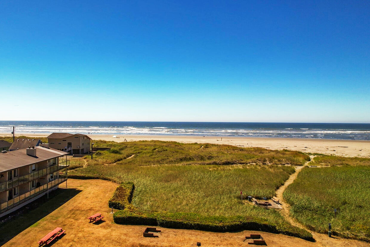
Quinault Coast from Above
↗
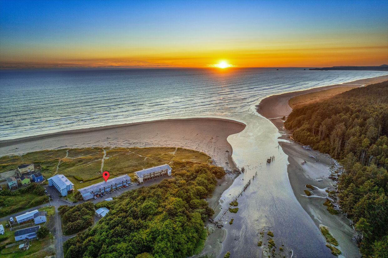
Drone View at Sunset
↗
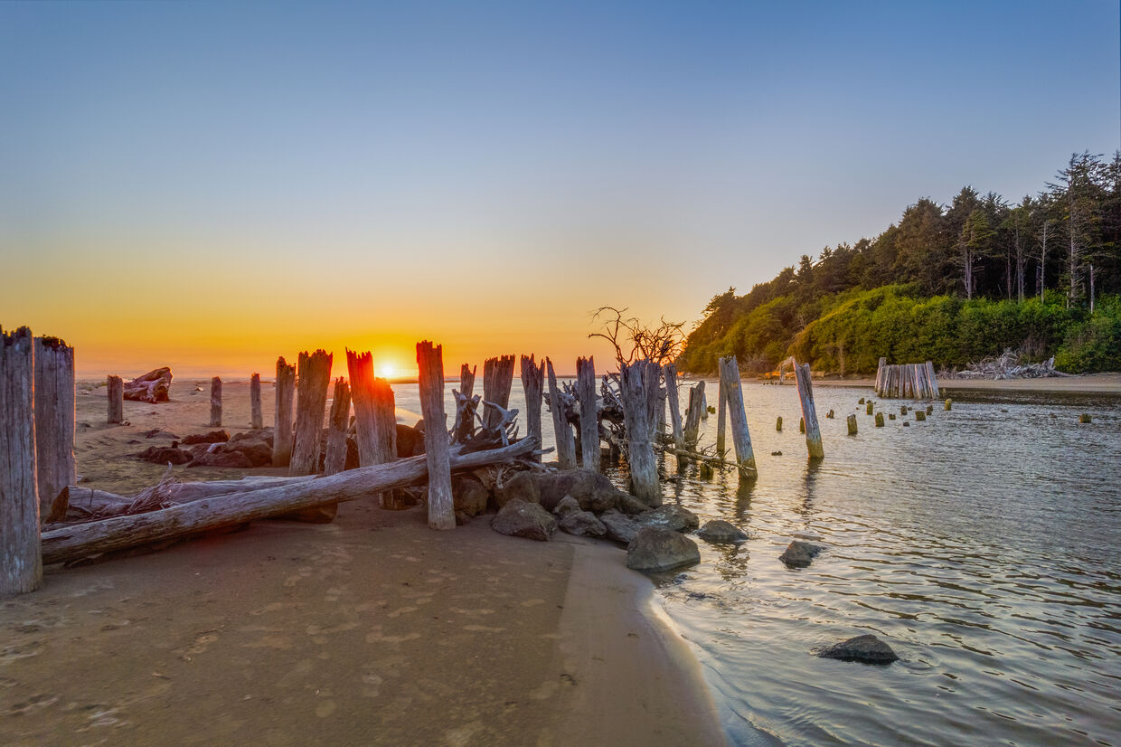
Ocean Swells from the Air
↗
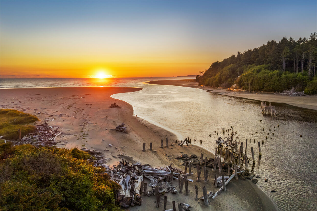
Moonstone Beach — Final Approach
↗
See resort photos › • Browse available rentals ›